Computed sky · Meghnad Chitnis
Everyone in India is on Allahabad time
One clock, one meridian near Allahabad, every other town's sky early or late. The longitude correction computed, and the lagna that skipping it costs.
Two ways in. The gist assumes you have never met any of this before.
What does a chart do about the fact that India keeps one clock across nearly 30 degrees of longitude? It subtracts. The birthplace's longitude comes off 82° 30′ east, the meridian the national clock is reckoned from, and the remainder, multiplied by 4, is the minutes by which the sky over that town runs early or late against every clock in it.
The amounts are not small. Mumbai stands at 72° 52′ 39″ east and Kolkata at 88° 22′ 12″ east, which is 15° 29′ 33″ of longitude between them, and since the earth turns 15 degrees in an hour, a degree is 4 minutes and that gap is 61 minutes 58 seconds. Sunrise, noon, the moment any particular degree of the ecliptic comes up over the eastern horizon: all of it happens over Kolkata about an hour before it happens over Mumbai, while the two wall clocks agree to the second.
A chart must settle that difference before anything else can be worked out. The correction has a Sanskrit name and a place in the classical procedure. This page asks how many degrees of rising sign you lose by skipping it.
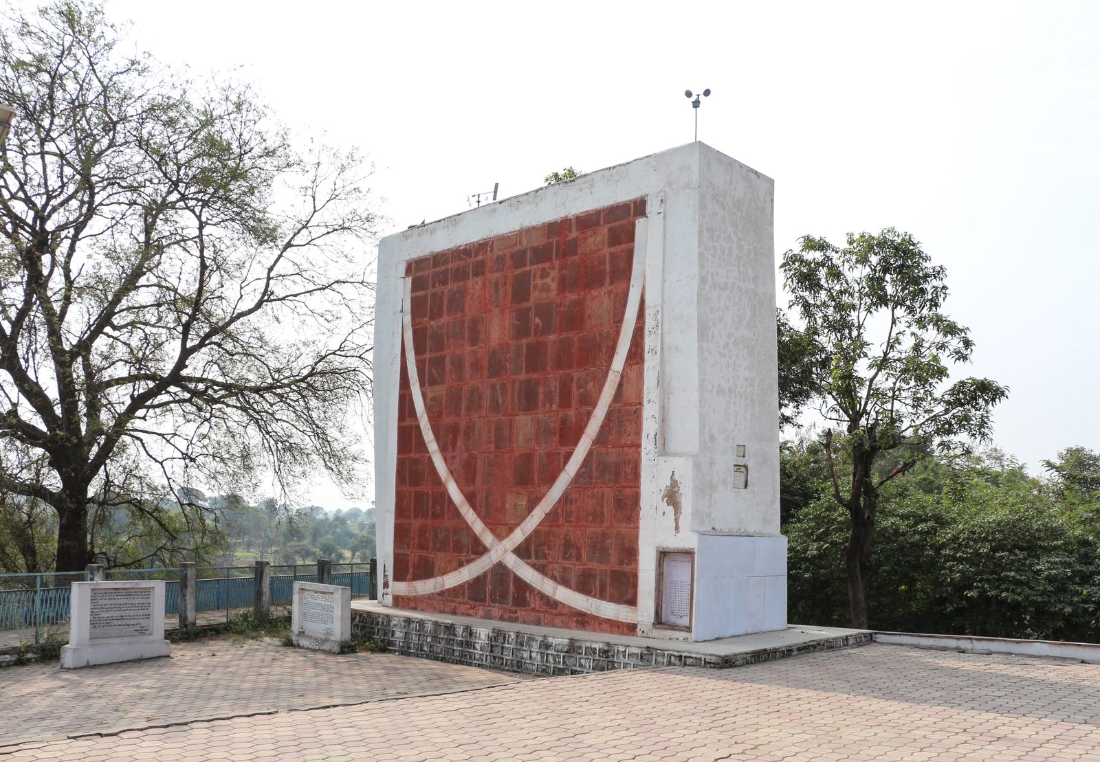
India has kept a single clock since 1906, five and a half hours ahead of Greenwich, reckoned from the meridian at 82° 30′ east. Five and a half hours is 82.5 divided by 15, exactly; that division is the whole of the arrangement. The line crosses the Ganga plain near Mirzapur, a little east of the city that was Allahabad and is now Prayagraj. Nothing about this is a mistake. A legal time is meant to read the same everywhere, so that trains and school terms can agree, and it does that job perfectly.
What it does not do is answer the question a chart asks. A chart wants to know which way the sky was facing over one point of ground. Local sidereal time, the number every ascendant hangs from, is built by taking the instant in Universal Time and adding the observer's own longitude turned into hours. The observer's, not the nation's. The wall clock is a fact about the country; the sky is a fact about the street.
Only the sign needs care. Where the place lies west of the line the clock runs ahead of the local sky by the amount computed; where it lies east, the clock runs behind.
| Place | Longitude | Distance from 82° 30′ | Correction |
|---|---|---|---|
| Mumbai | 72° 52′ 39″ E | 9° 37′ 21″ west | clock 38m 29s ahead of the sky |
| Ujjain | 75° 47′ E | 6° 43′ 00″ west | clock 26m 52s ahead |
| Prayagraj | 81° 50′ 47″ E | 0° 39′ 13″ west | clock 2m 37s ahead |
| Kolkata | 88° 22′ 12″ E | 5° 52′ 12″ east | clock 23m 29s behind |
The third row is the country's small joke on itself. Prayagraj, the city that gives this page its title, sits west of the line as well, and is therefore two and a half minutes out too. Nobody is on Allahabad time except the people standing on the line, and Allahabad is not among them.
The correction is much older than the clock it corrects. Sanskrit astronomy calls it deśāntara (देशान्तर), the difference of place, and the siddhāntas (सिद्धान्त), the standard astronomy textbooks, give it a section of its own: positions are worked out for a prime meridian and then carried across to wherever the person doing the arithmetic happens to be sitting. That prime meridian ran through Ujjayinī (उज्जयिनी), the modern Ujjain. India has therefore had two zero lines for its sky, and they stand 6° 43′ apart, which is 26 minutes 52 seconds. The two systems disagree about where zero is and agree completely that the correction must be made.
One input changed
I have raised an ascendant by hand once before, for a hypothetical birth at Ujjain at 9:12 in the morning on 22 July 2009. That working used a latitude of 23° 11′ north, an obliquity of 23° 26′ 17″ and a local mean sidereal time of 4h 45m 15s, and it returned 162° 52′ 07″ measured from the equinox.
Now run it again with the deshantara dropped. Every input is identical except the sidereal time, which is now built from 82° 30′ instead of from Ujjain's 75° 47′. The 6° 43′ goes straight on:
71° 18′ 45″ + 6° 43′ 00″ = 78° 01′ 45″, which is 5h 12m 07s.
The expression is the same one, unchanged, with θ the sidereal time as an angle, φ the latitude and ε the obliquity:
tan λ = −cos θ ÷ (sin ε × tan φ + cos ε × sin θ)
At the new θ, cos θ = 0.20741 and sin θ = 0.97825. The other three values are the ones from that page, since neither the place nor the date has moved: tan φ = 0.42826, sin ε = 0.39776, cos ε = 0.91749. The bottom line:
0.39776 × 0.42826 = 0.17034 0.91749 × 0.97825 = 0.89753 0.17034 + 0.89753 = 1.06787
Divide the top line by it:
−0.20741 ÷ 1.06787 = −0.19423
The angle whose tangent is −0.19423 is −10° 59′ 30″, and the rising point is the one half a turn away, at 169° 00′ 30″. The quarter-turn test settles that: the sidereal time plus 90 degrees is 168° 02′, and the right ascension of 169° 00′ is 169° 53′, while the other candidate sits at 349° 53′.
Two answers for one birth. The correct 162° 52′ 07″, and the shortcut's 169° 00′ 30″. Between them, 6° 08′ 23″.
Take off the ayanamsha for that morning, about 23° 59′ 45″ on the Lahiri reckoning, and the two lagnas (लग्न) are 18° 52′ and 25° 01′ of Siṁha (सिंह). The same sign. A whole-sign chart drawn from either would print the same rising sign and the same twelve houses. The same nakṣatra (नक्षत्र) as well, Purva Phalguni, which runs from 133° 20′ to 146° 40′ and swallows both.
The navāṁśa (नवांश) is where it surfaces. Write each longitude in arcminutes and divide by 200: 8,332 gives 41 whole ninths, and 8,701 gives 43. Then 41 on 12 leaves 5, which is Kanya; 43 leaves 7, which is Vrishchika. The rising sign of the ninth-part chart has moved two signs, on a birth where the main diagram did not flinch. That is the general shape of it. How often a shift changes which cell a number lands in depends on the ratio between the shift and the cell's width, which I work out in full elsewhere. Six degrees is small next to a thirty-degree sign and large next to a ninth-part of three and a third.
What the average hides
That window, 6° 43′ of sidereal time, delivered 6° 08′ 23″ of ecliptic on the morning in question. It could have delivered more. At another hour it would have.
The average, though, is exactly knowable, and it is a pleasing number. In one turn of the sky, sidereal time covers 360 degrees and every degree of the ecliptic rises once, so the two quantities go round together. The average arc of ecliptic that comes up during any window of sidereal time is therefore the window itself. One degree of longitude, skipped, costs one degree of lagna on average, wherever you stand and whatever the season. It agrees with the coarser way of saying the same thing: 4 minutes of clock, at about 15 arcminutes of ascendant a minute, is one degree.
What latitude and hour change is the spread around that average. The ecliptic meets the horizon at an angle that swings through the day and swings wider as you go north, so a fixed window of sidereal time brings up a long stretch at some hours and a short one at others.
| Place | Average lagna cost | Least | Most |
|---|---|---|---|
| Mumbai | 9° 37′ | 8° 32′ | 12° 20′ |
| Ujjain | 6° 43′ | 5° 52′ | 8° 59′ |
| Prayagraj | 0° 39′ | 0° 33′ | 0° 53′ |
| Kolkata | 5° 52′ | 5° 08′ | 7° 48′ |
Two notes of small print, and both are the kind of number that gets swapped for its neighbour.
The first is that 6° 43′ of sidereal time is not 26 minutes 52 seconds of clock time. It is 26 minutes 48 seconds, because a sidereal clock gains on a solar one by a factor of 1.0027379. So the longitude correction for Ujjain is 26m 52s, and the chart the shortcut hands you is the chart of a moment 26m 48s later than the birth. Both figures are right, and they are answers to two different questions.
The second is that a city is not a point. A town 30 kilometres across at these latitudes spans about 17 arcminutes of longitude, which is 68 seconds of time and a quarter of a degree of rising ecliptic. That is the honest width of any city coordinate, and Mumbai's correction is about 34 times it. The correction is not a refinement. It is 34 refinements stacked end to end.
Whether any of this reaches the printed page comes down to one field. Given the town, a program does the deshantara without being asked and without ever showing it: the 38m 29s never appears in the output, because it was spent inside a step nobody prints. Given the nearest large city instead, the same program does the deshantara faultlessly for the nearest large city, and prints the result to the arcsecond with no sign that anything went wide.
Behind all of it is a line nobody has marked. It crosses the Ganga plain a little east of Prayagraj, through fields where nothing on the ground shows it, and every clock in the country is set by the moment the sun stands over it. Everywhere else that moment is early or late by an amount the local longitude decides, and a chart is one of the few documents that still asks.
Twice a week
Essays like this one, Tuesdays and Saturdays. One email per essay, and the archive is never mailed out. Subscriptions open shortly; the RSS feed is live now.
Nothing else arrives, ever.